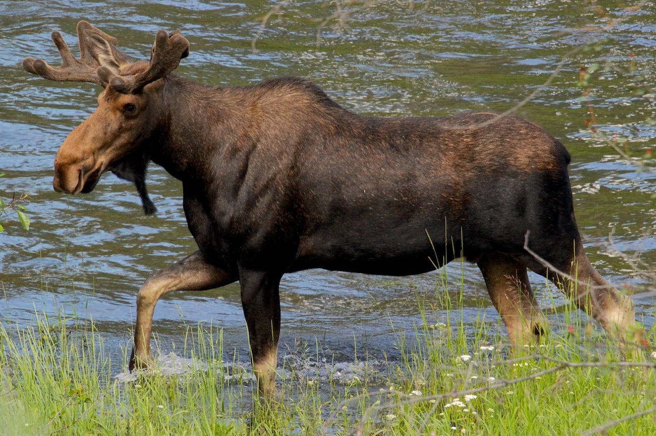
Bull Moose cooling his heels in the Spokane River near Spokane Falls Community College
The Mystique of Moses Coulee
Perhaps it is trite to write that you either get Moses Coulee or you don’t.
I’ll write it anyway because I have to admit I didn’t discover and come to appreciate this stunning rip in the earth until I was well into my fifties.
I do remember having an epiphany of sorts, several years ago, driving to Seattle. To my credit, I was on U.S. Highway 2 which I favor for aesthetic reasons as a way to get from here to there, or there to here. There being Seattle. Here being Spokane.
I wasn’t in that big of a hurry but I was in that driver’s trance where the cruise control gets the benefit of the doubts. I’d zipped by the big earth show at Dry Falls, near Coulee City, and headed up-grade toward the reach of Washington’s biggest sky— above and beyond the Waterville plateau, from where you can see the transition between the Columbia basin and the northern Cascades. On a clear day it can present an ethereal view: high clouds with mares’ tails, sometimes throwing ice at the eastern faces of the mountains.
Within a few minutes the highway west of Coulee City jogs a bit to the north and then abruptly southwest as it heads downhill, again, into a big crease framed by towering basalt walls.
This was and is Moses Coulee, a magnificent, wing-shaped gouge in the earth that spans 40 miles, north to south, in Douglas County. I remember feeling embarrassed that I didn’t know that at the time, and even more embarrassed that I hadn’t stopped. A few months later, I admitted this mistake to a friend at a party in Spokane, and she gasped. She then exclaimed and explained why Moses Coulee (named after Columbia plateau Chief Moses, a contemporary and ally of the Nez Perce’s Chief Joseph) is one of her favorite places on the planet. I get it now. I agree with her. I understand her gasp.
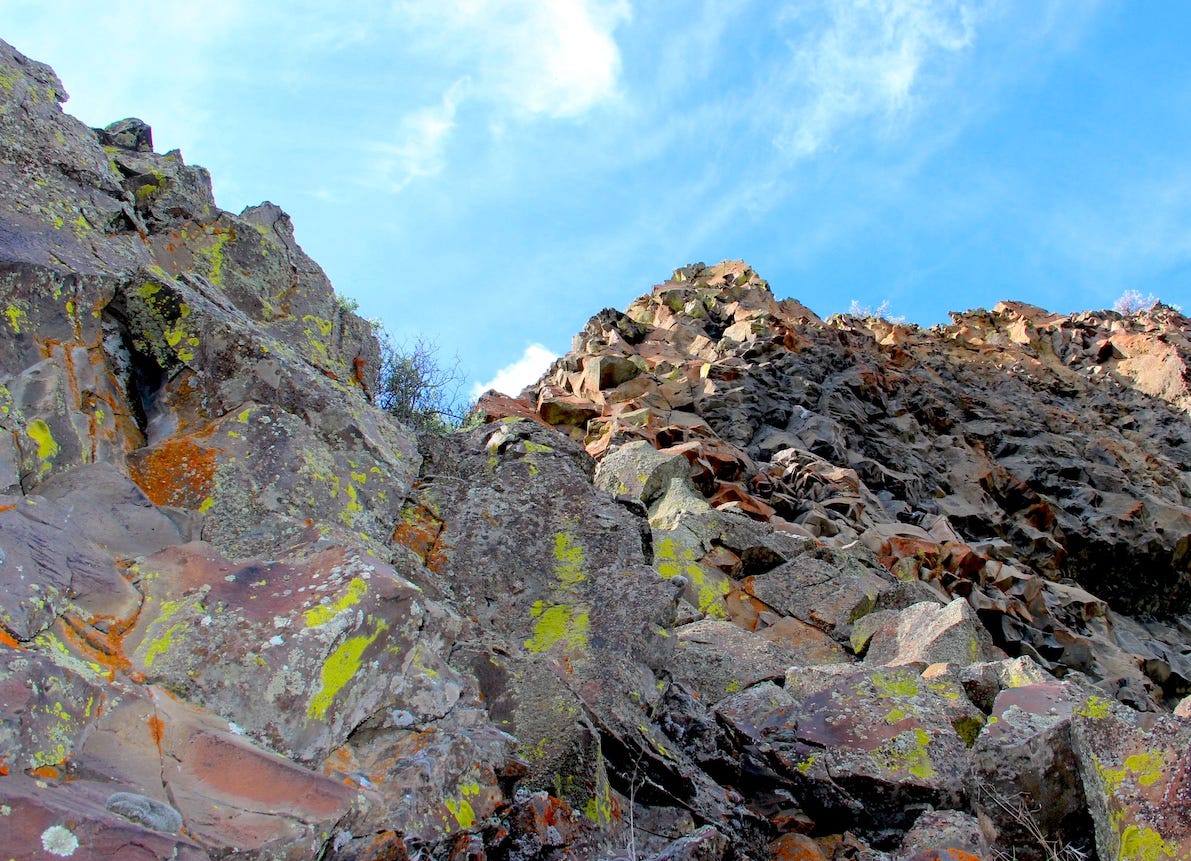
Of course, I had to go back—with even more time on hand—to actually stop the car and check it out. Moses Coulee is too big to see and take in all at once. So I stopped at first gasp and climbed more than halfway up the west wall above Coulee Meadows Road, in the big crease, as it heads south of Highway 2. I took the first photo, below, from that first climb, before I had the good sense to carefully climb down.
There are puzzles in Moses Coulee that the famed geologist J Harlen Bretz noted a century ago. Like Dry Falls and Grand Coulee to the east, Moses Coulee is obviously a creation of colossal Ice Age floods. The prevailing theory, for decades, has been that the earth-carving floodwaters arrived from the east as part of a devastating, hydrologic cascade unleashed (repeatedly) by the bursting of a massive ice dam holding back glacial Lake Missoula, more than 150 miles to the east. There is an anomaly about Moses Coulee though, and you can see it on Bretz’s century-old map of the Channeled Scablands.
The three major scabland tracts—from the Cheney-Palouse tract to the east, the Telford, Crab Creek tract in the middle, and the Grand Coulee tract to the west, are all connected by braided channels spreading south and west from Spokane. But Moses Coulee stands alone and that’s long begged the question of whether floodwaters from Lake Missoula could have reached Moses Coulee with the enormous power that would have been necessary to create such a long and deep chasm.
Some geologists surmise that the glacial floodwaters waters that carved Moses Coulee came from the north—the result of massive amounts of glacial meltwater beneath the Okanogan lobe of the Cordilleran ice sheet— rather than from the east. Last November Joel Gombiner, a University of Washington graduate researcher who has been doing field work in and north of Moses Coulee, presented the case for the glacial meltwater theory in a session hosted by Central Washington University geology professor Nick Zentner.
The controversy fits and, at least for me, only adds to the mystique of Moses Coulee, which has a rich, Native American history. If you come into the coulee from the south (off State Highway 26) you’ll instantly get a feel for the scale of the coulee. The pavement takes you to the small outpost of Palisades and then turns to the east as you reach Douglas Creek. As the road turns to gravel and then dirt it brings you to the stunning “Three Devils” area above Rattlesnake Creek. It’s one of the wildest spots in the state, gnarly and cinematic, as if beyond the reach of the modern world.
A great place to bring a camera, or a companion, but especially a good map.
Looking up the west wall, off Coulee Meadows Road
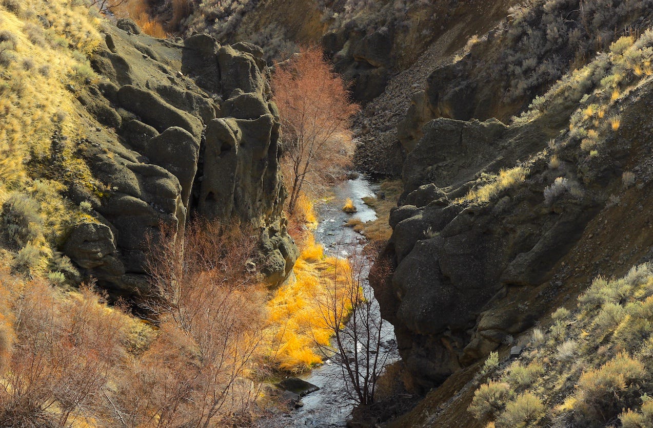
Douglas Creek, north of Palisades
Towering cliffs above Douglas Creek
Palisades Country Store in Moses Coulee
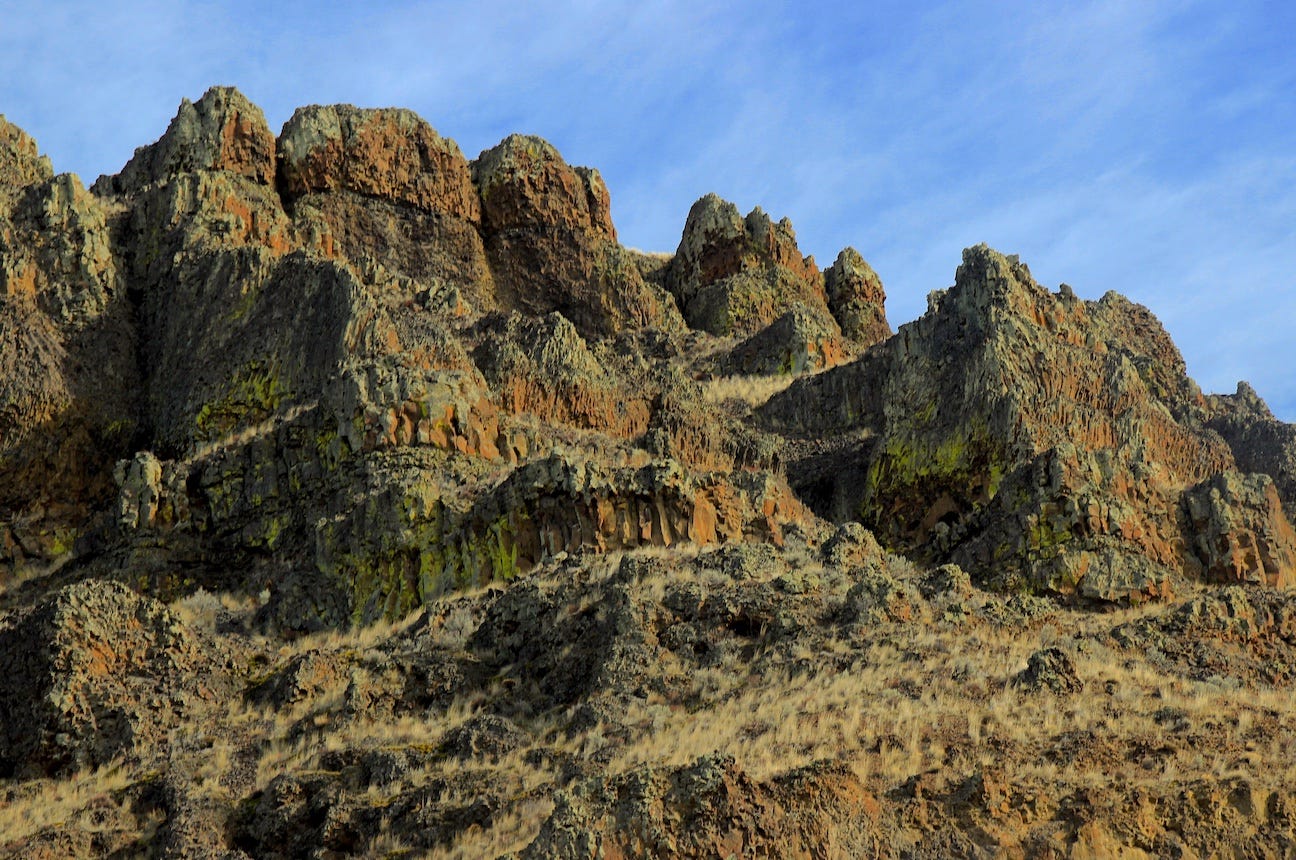
Feathered basalt near Three Devils
Camping on the ledge above Douglas Creek in Moses Coulee
Male Western Tanager streamside north of Palisades


