Thursday's postcard, and a field guide to the spectacular Drumheller Channels
August 31, 2023
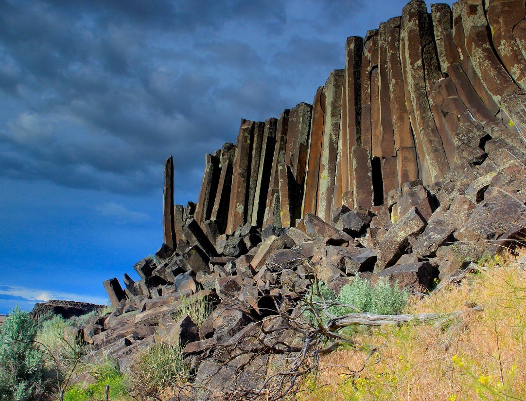
Jagged palisade at the Drumheller Channels north of Othello
A Bretzland jewel near Othello
Splayed on regional maps, the channeled scablands of eastern Washington resemble an enormous jellyfish, with present-day Spokane at its head and the tentacles of the flood-scoured pathways generally drifting to the southwest.
“Like roads to Rome,” the famous scabland geologist J Harlen Bretz wrote in 1959, “all scabland rivers led to the Pasco Basin.”
It’s also true that some of the floodwaters took a more circuitous route to Pasco than others. For example, the inland tsunamis that carved Lake Creek Coulee in central Lincoln County were headed toward Pasco until they reached the Crab Creek valley near present-day Odessa. Confronted by highlands to the south, the riot of rocks, water and ice made a sharp right turn and followed the Crab Creek drainage to the west. It was only when the rampaging floods reached the Quincy Basin—north of present-day Moses Lake—that a large share of the churning chaos turned southward.
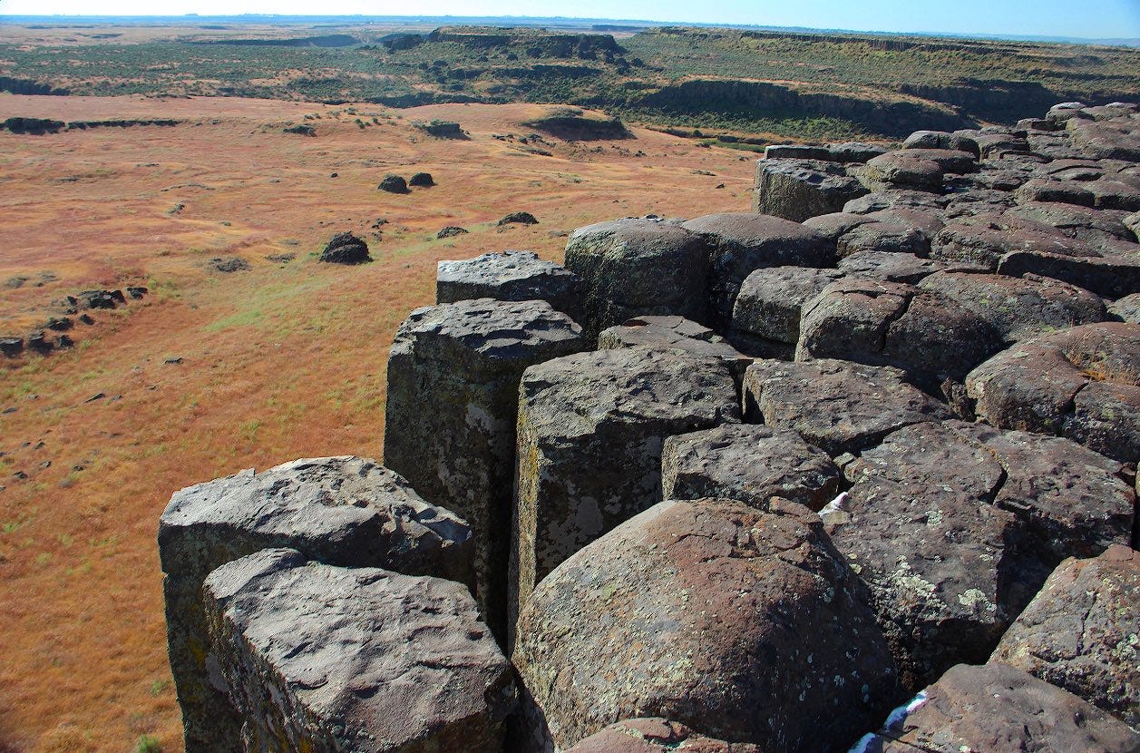
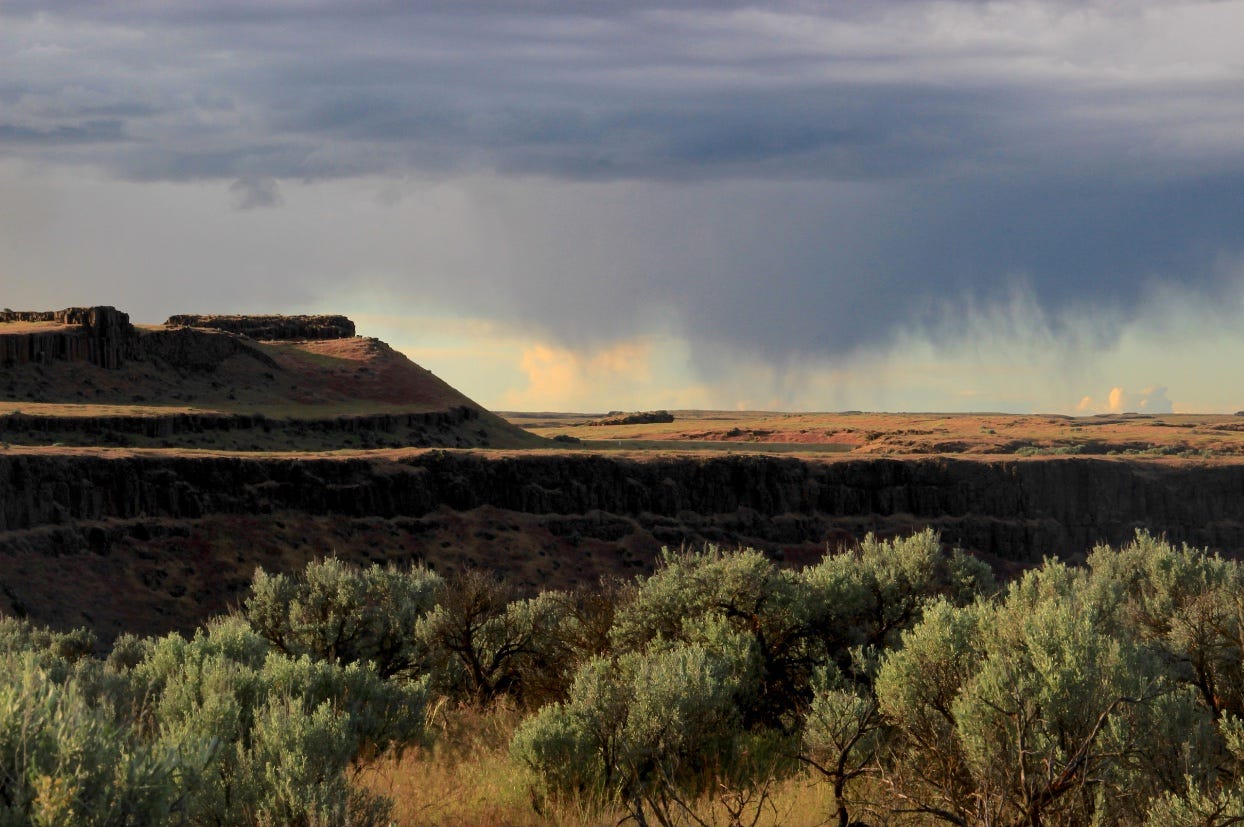
To reach Pasco the floods had to pass through a bottleneck near present-day Othello. The larger, northern portion of that bottleneck is known as the Drumheller Channels and most of the channels are encompassed within the present-day Columbia National Wildlife Refuge. When Bretz and his small entourage of geology students charted the Drumheller a century ago, the phalanx of basalt buttes and maze of deep, interconnecting flood pathways were awe-inspiring.
“Drumheller is the most spectacular tract of butte-and-basin scabland on the [Columbia] plateau,” Bretz wrote. “It is an almost unbelievable labyrinth of anastamosing channels, rock basins, and small abandoned cataracts.”
To continue reading, please subscribe to The Daily Rhubarb…


