This weekend's postcard, and the mountain gateway for the Northwest's Ice Age floods
September 9, 2023
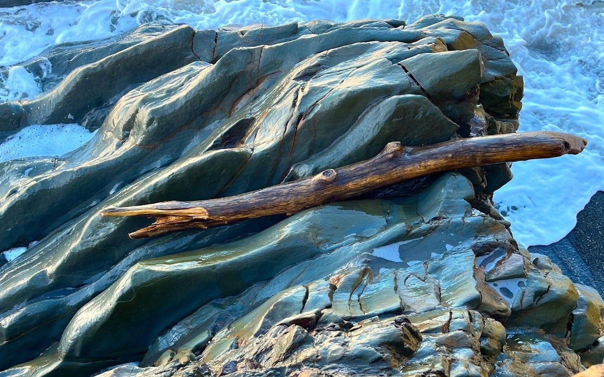
Surf-deposited log at Beach #2, Olympic National Park
Adventures in Bretzland: Ground Zero at Green Monarch Ridge
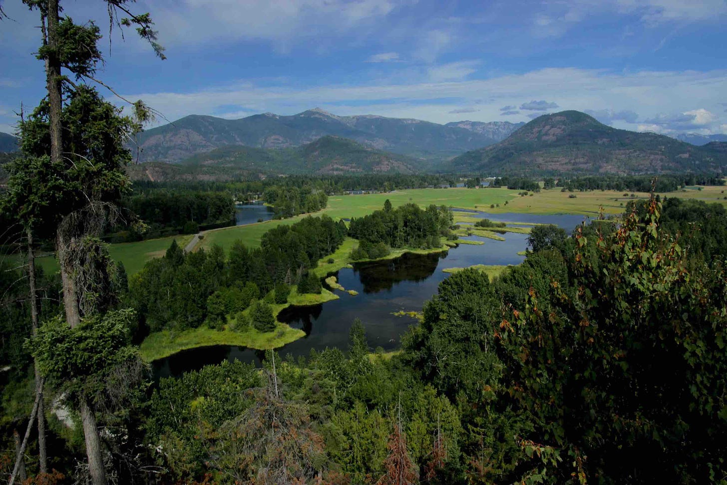
The Clark Fork delta in the Idaho panhandle, the site of the 2,000 foot high ice dam that created glacial Lake Missoula.
At the apex of the most recent Ice Age a massive glacier came face-to-face with the ancient basement rock of North America. Something had to give.
The nature of nature is that the new is generally trying to devour the old. In geology, the engine for this perpetual drama is largely hidden by seawater. In mid-ocean ridges volcanic forces push fresh terrain outward, creating huge plates of fresh rock that behave like slow-moving conveyer belts. When the plates inevitably collide, terrain buckles and melts under pressure, pushing up mountains and volcanoes, and lava.
A corollary to this overview are longstanding, stationary hot spots on the surface crust that convey blowtorch heat from the earth’s mantle. One such hot spot continues to create the Hawaiian islands. Another resides beneath the actively steaming caldera at Yellowstone National Park. On a map the Yellowstone hot spot appears to be moving eastward, but this is only because the North American plate is moving to the southwest.
Some 16 million years ago, the hot spot now beneath Yellowstone was situated about where corners of Idaho, Oregon and Nevada intersect today. The prevailing theory among geologists is that the Yellowstone hot spot was the heat source for the more than 50,000 cubic miles of lava (basalt) spewed from hundreds of surface vents in western Idaho, northeast Oregon and southeast Washington. The peak of the vent eruptions was between 14 and 16 million years ago—with continuing smaller eruptions until about 5.5 million years ago.
To continue reading, please subscribe to The Daily Rhubarb—


