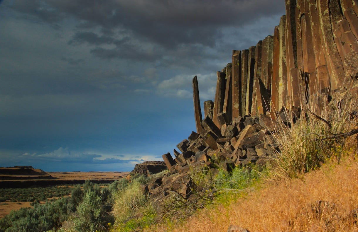
“A Point of Defiance” (2017)
Bretzland’s near-perfect pillars
I’m embarrassed to admit that even though I was born less than an hour’s drive away, I knew nothing about the Drumheller Channels for most of my life. I didn’t learn about the place (about the size of Spokane County’s west plains) until I got serious about looking around, loosely following, with my camera, the expansive field work that geologist J Harlen Bretz took on roughly a century ago.
The Drumheller is located roughly between Moses Lake and Othello, west of state highway 17, about 10 miles south of Interstate 90. Of course, Bretz was there long before the interstate and found its flood-ravaged terrain “as a complete surprise” with small lakes situated within a “unique labyrinth” of basalt knobs and ridges.
The rampaging floodwaters did their excavation well over 10,000 years ago, but it looks as though it was just decades ago, in part because the area is relatively untouched by development. A year or so before I took the above photo, I hiked in through the channels with a friend, a round trip of four miles or so. Remarkably, the only thing I found of human origin (apart from a few field markers) was a blue bottle cap
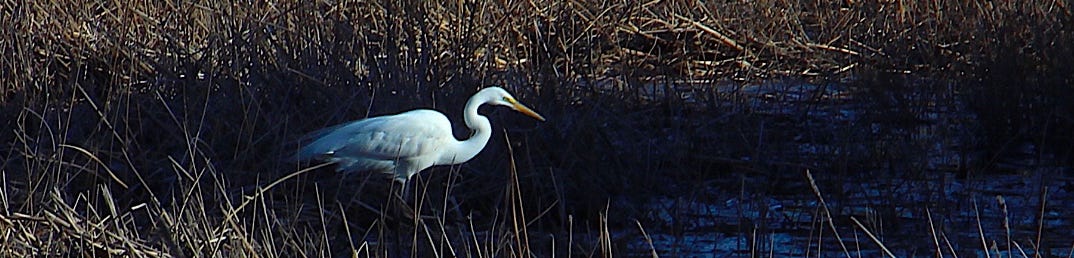
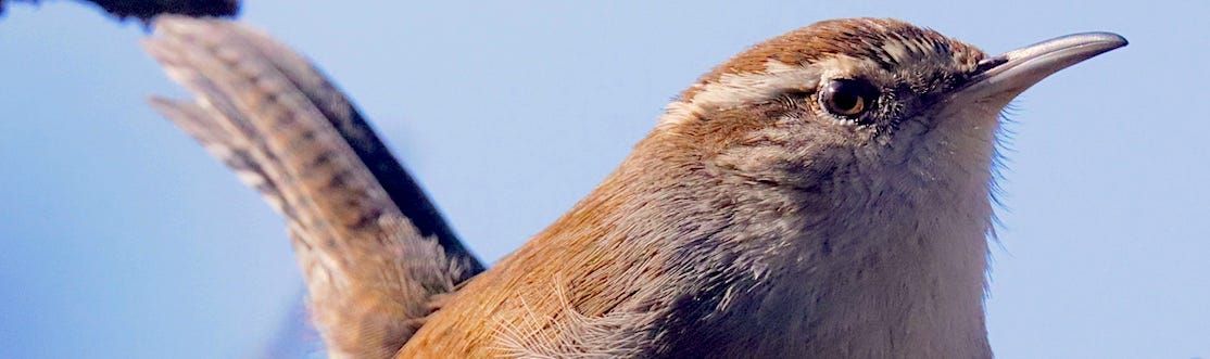
Great White Egret in the marsh
About half the channels are now submerged beneath Potholes Reservoir to the north. To the south of the reservoir is the Columbia National Wildlife Refuge, through which Crab Creek crosses as it makes its way west and south, to eventually join the Columbia River. Sandhill cranes, by the thousands, visit the wetlands in the refuge during spring and fall migrations. Mule deer abound and, in warmer weather, rattlesnakes. One of my favorite wildflowers—the Green-banded mariposa lilly—is mercurial but grows in bunches, surviving late into the spring.

Green-banded mariposa lilly
Of course, the outlandish rock formations in the flood-blasted basalt are there year-round. They include prolific exposures of characteristically thick Roza basalt columns (~15 million years old) and the much thinner and more dramatically arrayed columns of the Elephant Mountain basalts about 10 million years old. The photo at the top of today’s dispatch is of an Elephant Mountain palisade, looking northward. The dark ridge between the two buttes on the left side of the photo is the channel through which Crab Creek flows.
To continue reading this post, please support The Daily Rhubarb with a paid subscription at the link above, tx, tjc