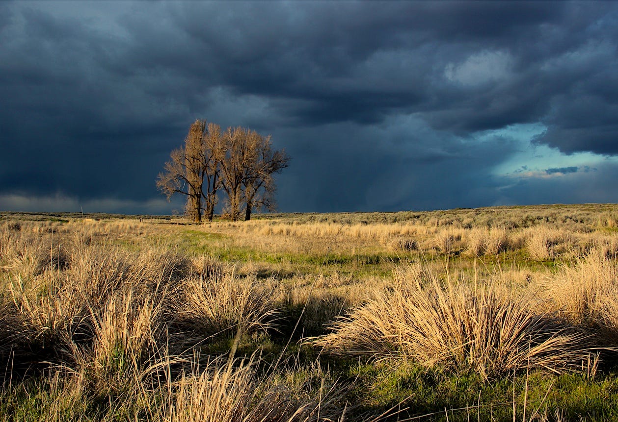
Spring storm on the Telford tract south of Creston, WA
A pleasant sort of lonely…
If you have the time, there is no better time than early May to visit the channeled scablands, by which I mean pretty much any venue between Moses and Potholes Coulees well to the west and Palouse Falls in the easternmost tract.
But if you really want to get away from it all, don’t forget the very middle of nowhere—the so-called Telford tract which encompasses Lake Creek Coulee in the wilds of Lincoln County. From Spokane, the best way to get there is to take U.S. Highway 2 to Davenport. As you find yourself on the west side of downtown, look for the sign to State Highway 28, which will take you south to Harrington. Just north of Harrington (pop. 415) you’ll see the turn off for Coffee Pot Road. (Just so we’re clear, there is no Starbucks at the end of Coffee Pot Road.)
Coffee Pot Road is the sort of road you might expect to be on after an argument with your girlfriend or, win or lose, when you’re nursing a hangover the day after the Apple Cup. The road leaves Harrington makes a slight wobble northward, and then takes a bee-line westward toward the Telford tract, the central braid of the channeled scablands.
If I’m driving, and you’ve missed your chance to escape the vehicle when we were getting gas, an hour ago, in Airway Heights, then I will alert you to how banal this looks—this un-shouldered strip of asphalt that undulates only slightly through fields of dryland wheat. In winter, with a cover of snow and hoarfrost, it looks like what I imagine treeless Siberia looks like.
If you are like me and can find the beauty in bleak, this is a highway for you too. Wired into modernity, so much of our transactional and emotional energy goes into adjusting ourselves to human constructs and relationships. What a relief it can be to simply absorb earth and sky for a change, to watch a kestrel hovering before making a dive into the grass for his lunch.
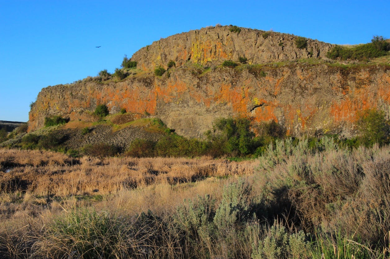
The great wall at Coffee Pot marsh, in morning light
Bleak quickly evaporates once Coffee Pot road reaches Lake Creek Coulee, some 13 miles west of Harrington. The pavement dips and curls as it enters the coulee and, in the time it takes to miss your mother, you’re passing by a broad expanse of marsh—lush in cattails and birdsong—and looking up at a towering wall of Wanapum basalt that, in morning light, glistens with orange and yellow lichens.
There are many other dramatic transitions between soil and scabland in the lower Columbia Basin (Highway 2’s descent into Moses Coulee in Douglas County comes to mind) but few announce the life force of water as eloquently as an arrival at Lake Creek Coulee.
The Ice Age flood waters that bulldozed the coulee also opened the terrain for lakes and wetlands that would not otherwise exist. In the rain shadow of the Cascades, this section of Lincoln County receives only about a foot of precipitation annually. But with the water-absorbing topsoil rinsed away and groundwater flowing from aquifers in the exposed basalt layers there are permanent lakes and streams. (Although, it has to be noted, hydrologists now warn about the depletion of these slow-to-recharge aquifers as a result of pumping for irrigation.)
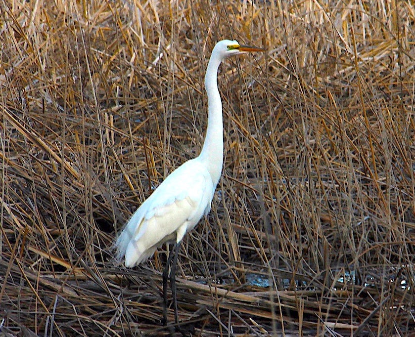
Great Egret, Coffee Pot Lake
A signature feature of Lake Creek Coulee are several ringed, basaltic craters that are accessible on federal Bureau of Land Management tracts north and east of Odessa. Geologists surmise the circular forms of the craters were set in place roughly 15 million years ago when the Roza lava flow inundated the area and came in contact with surface waters. The finishing touches were provided when Ice Age floods swept off topsoil and plucked out the looser rock between the stronger dike “rings” of basalt. This gives the craters their target-like appearance when viewed from above.
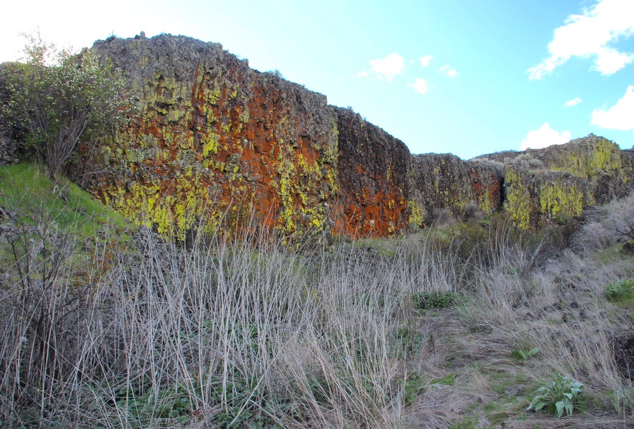
South wall, Amphitheater Crater northwest of Odessa
Lake Creek Coulee is one of my favorite places to photograph lichens—the complex fungi-algae-bacterial communities that grow very well on basalt faces, especially basalt outcroppings that are at least partially shaded from direct sunlight. In Amphitheater crater, and other places, some of the basalt walls are densely coated in bright yellows and oranges, with shades of green and red. The natural paint job is surreal.
Coffee Pot Road makes a long loop through the Telford tract, eventually emerging within sight of Amphitheater crater to join state highway 21 a few miles north of Odessa. A trailhead that opens paths to Amphitheater and other craters is just up the hill (take a right) on Highway 21, and it’s a good place to explore, especially right now, in mid-spring spring when wildflowers abound. One note of caution, as the weather warms up, rattlesnakes will emerge and you’ll want to be mindful of that, especially if you’re bringing dogs with you.
—tjc


