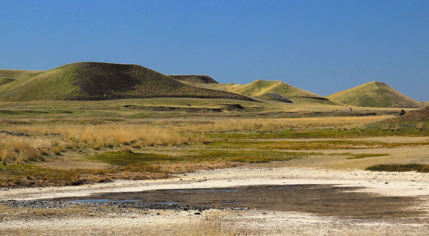
Blooming Camas in a scabland bog near the Spokane/Lincoln County line
Teardrop Hills
A poem of geography, with the signature of a catastrophe
A century ago the geologist J Harlen Bretz—then on the faculty of the University of Chicago—was holed up in Spokane with a contingent of his students. His purpose, with their help, was to map what Bretz, in a late 1923 journal article, would term “The Channeled Scablands of the Columbia Plateau.”
Despite its prosaic title, the paper was a provocative and revolutionary contribution to American earth science. It literally mapped and described a great web of catastrophe across the terrain of eastern Washington. It proposed the dramatic scouring of the plateau had been caused by an epic Ice Age flood, an overwhelming inland tsunami that had roared through Spokane on its way to the lower Columbia River gorge and then on to the Pacific.
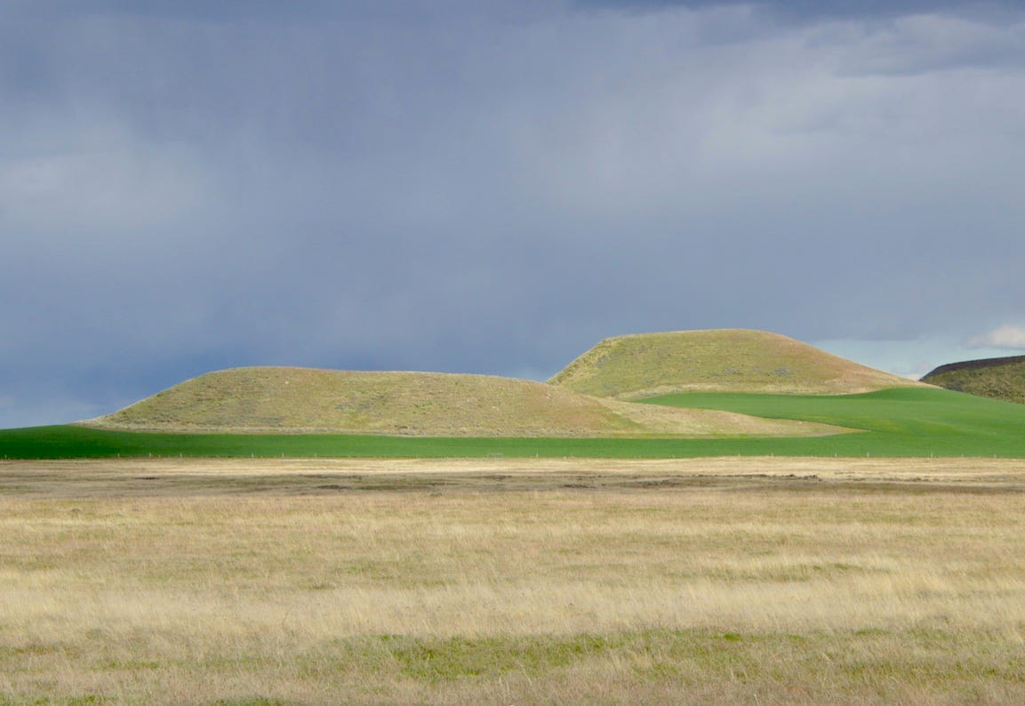
Bretz hills south of Ewan, WA
It is a part of the Bretz legend that this surmise was greeted, by nearly all of his peers, as preposterous. A signal that Bretz anticipated resistance is that the front part of his 35-page article—including maps, and graphs, and grainy photographs—reads almost like a manifesto. It is a point-by-point summary of the evidence for the natural catastrophe.
My favorite is bullet 14(a) “Scabland tracts invariably bear scattered bowlders (sic) of foreign rock.” It’s a real-stopper—an almost too polite demand to his anticipated critics that says, in effect, explain this.
As Bretz knew, some of the “bowlders” were as large as railroad cars and consisted of granitic or metamorphic slabs that were well over the horizon from plausible outcrops of similar bedrock. We now know—as Bretz surmised—that they’d been transported, not by glaciers, but by icebergs that floated atop the floodwaters.
It was only after Bretz pounded in his 21 bullets points that he got to what I think of as the “Bretz hills” evidence—the descriptions of how the floodwaters obliterated sections of the Palouse, washing away literally miles of Palouse hills but frequently leaving, in their place, either singular surviving hills, or small groups of them—hills that retain their powdery, loessial (Palouse) soils but have been dramatically re-shaped by the floodwaters.
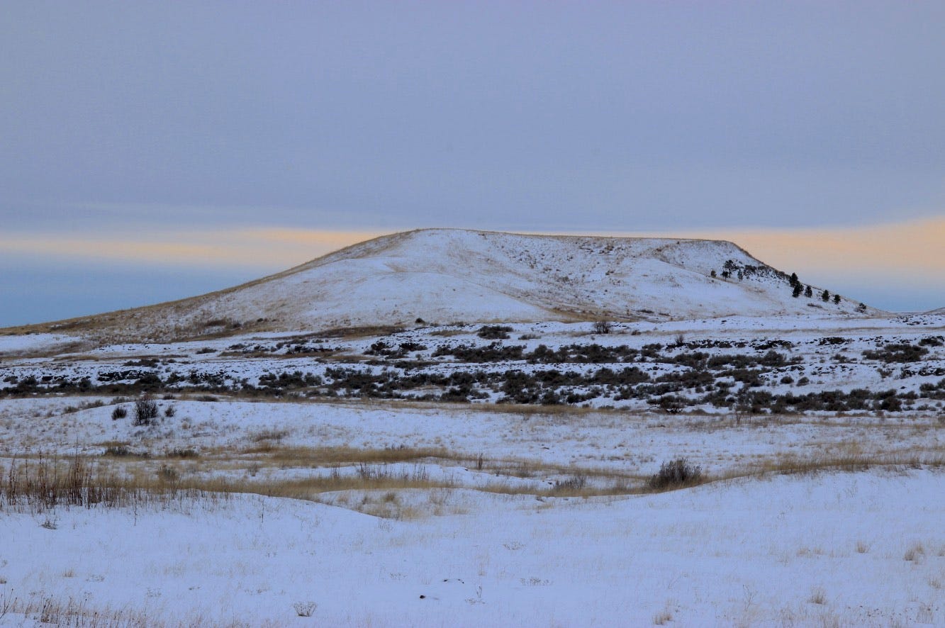
Here’s how he presented it, noting that prior to the Ice Age floods, “the entire plateau of Washington was covered with a loessial soil, varying in depth from a few feet to 200 feet.” Where the torrent of floodwaters did not completely wash away the hills, it re-shaped them, steepening their slopes and giving them teardrop shapes.
“A very striking and significant feature of the steepened slopes is their convergence at the northern ends of the groups to form great prows” pointing northward, from where the floodwaters came. “The nose of a prow may extend as a sharp ridge from the scabland to the very summit of the hill. It is impossible to study these prow-pointed loessial hills, surrounded by the scarred and channeled basalt scablands, without seeing in them the result of a powerful eroding agent which attacked them about their bases…”
Bretz was a naturalist and a strong writer before he got immersed in geology. He would often give himself just enough space to express the wonder of what he observed and how it affected him. And it’s still there, today. Places like Spokane and the Tri-Cities have been dramatically altered by human development. But the scablands, with few exceptions, remain as Bretz encountered them a century ago.
Bretz hill near Palouse Falls, in northern Franklin County. For scale, the trees left of the ‘prow’ are mature locust trees.
To my eyes, the Bretz hills have a mystical quality to them. As Bretz noted, you have to get a ways out of Spokane (which was just blasted clean to the basalt bedrock by the huge floods arriving from a repeatedly bursting ice dam near Sandpoint, Idaho) to notice how the flood waters obliterated or refashioned the Palouse hills.
I always prefer the scenic routes but, honestly, you don’t have to leave the freeway to see this. If you’re heading west on I-90 toward Ritzville the Bretz hills come well into view once you get out of the pines near the Spokane County line as you approach the exit to Fishtrap, about ten miles east of Sprague.
—tjc
North of Benge, WA
Steep “prow” of Bretz hill on Jordan-Knott Road in northwest Whitman County
Bretz hill in winter, near Fishtrap, WA


