Falling waters
March 24, 2026

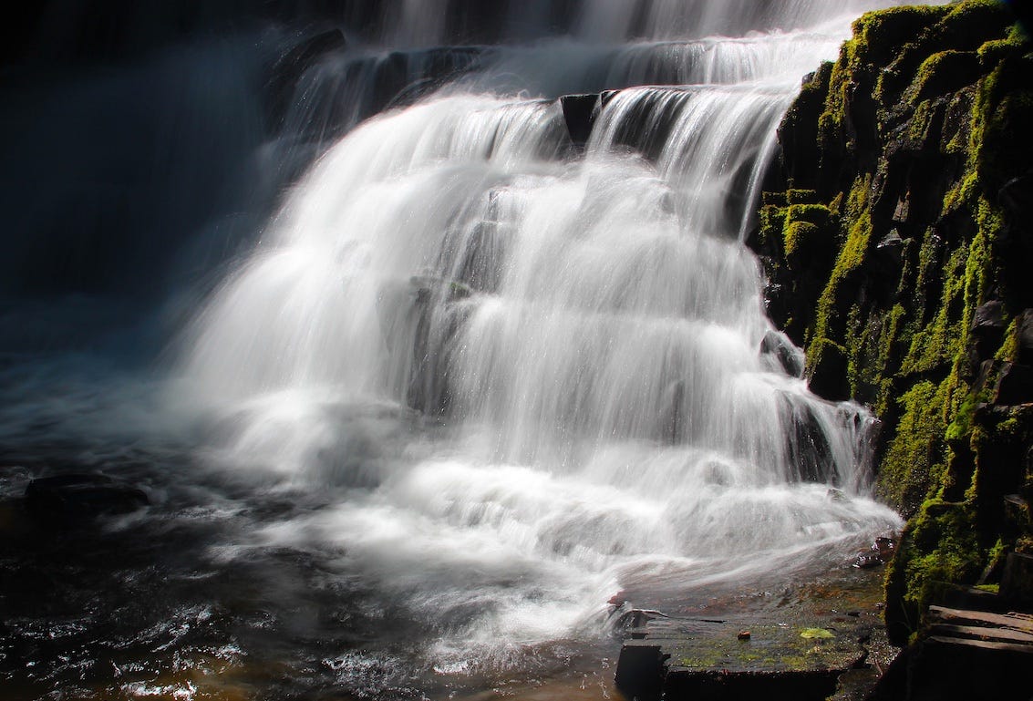
Upper Clear Creek falls in the Yakima River drainage on the east slope of the Cascade range
“Like roads to Rome…”
If you’re a drop a water that takes shape roughly between Skookumchuck, British Columbia; Lincoln, Montana, and Jack Creek, Nevada the parts of you that don’t evaporate eventually make the turn at Wallula Gap, near Pasco, WA, and head toward the ocean. Sorry for the long sentence. Think of it as a metaphor for the Columbia River drainage.
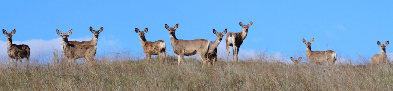
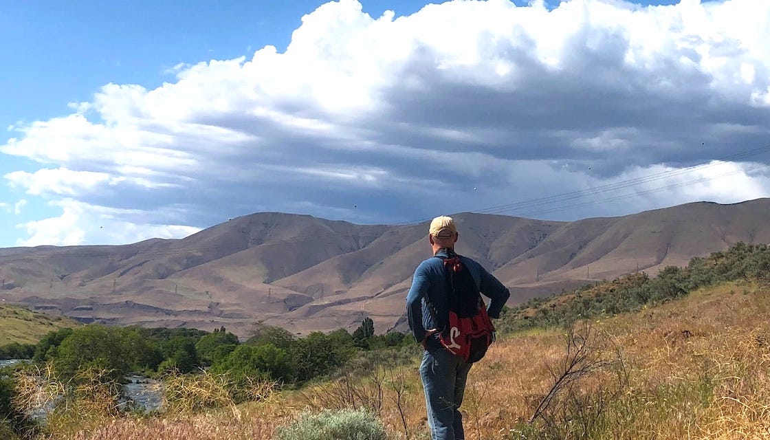
I’m most familiar with the inner spokes of this water and gravity wheel, the lower Columbia Basin that J Harlen Bretz mapped out, a century ago. Some call it the “scabland” and in 1959 Bretz wrote that “like roads to Rome” all scabland streams head toward the Pasco Basin, which is where the Snake, and the Yakima give their water to the Columbia. Some samples along the way…tjc
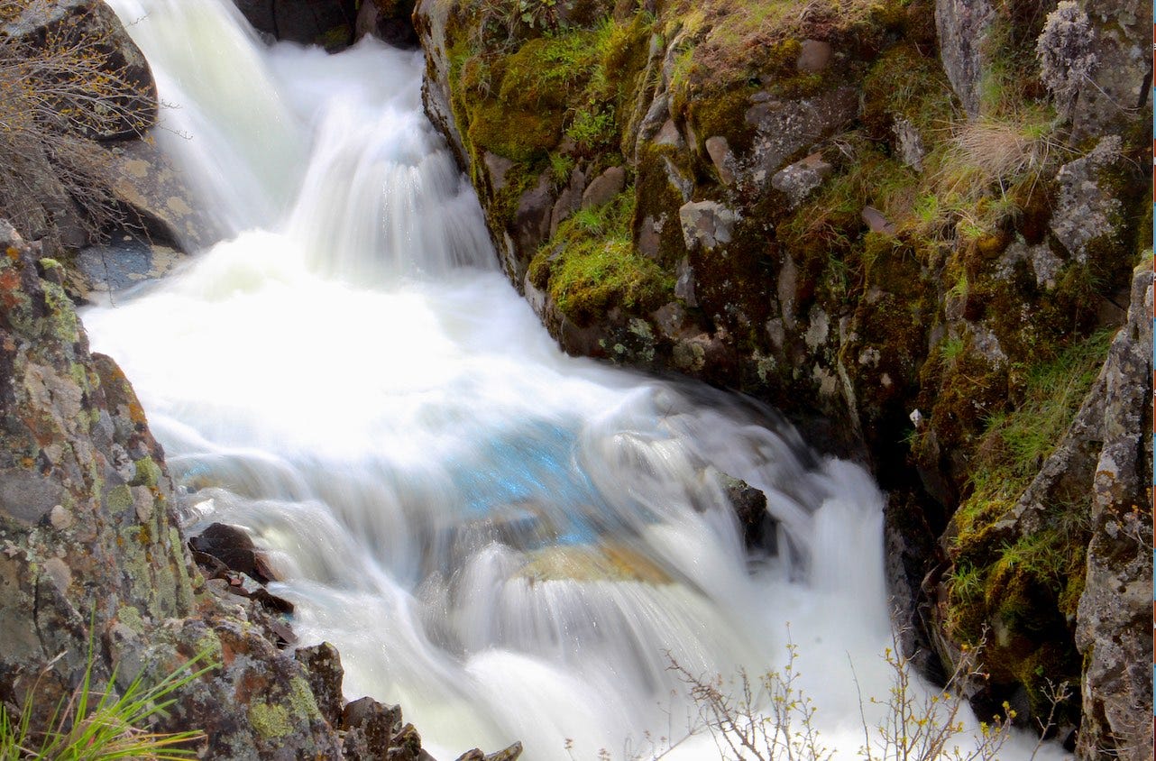
“A blue mystic”—early spring run-off in an ephemeral stream feeding into the Ice-age flood carved cataract between Badger and Williams Lake in the southwest corner of Spokane County.
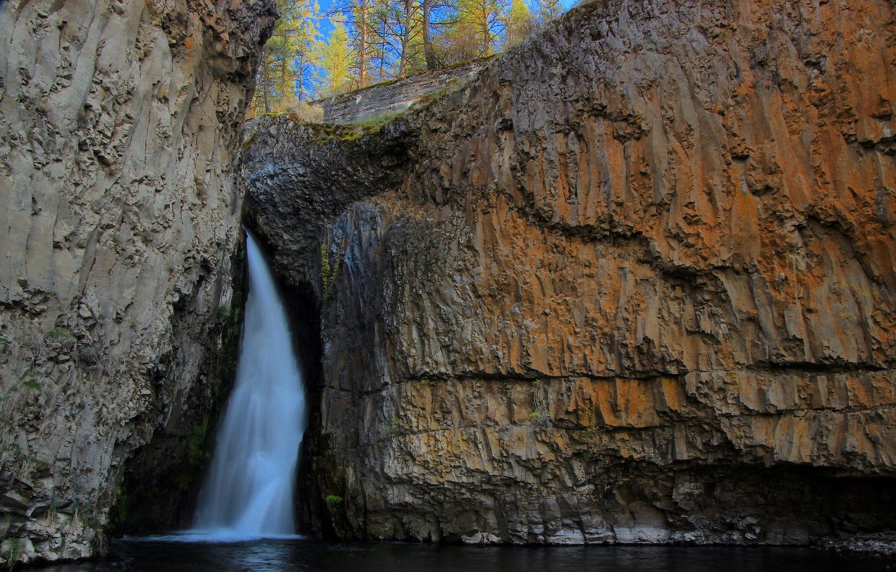
The falls at Hawk Creek about a mile east of where the creek feeds into the Columbia River northeast of Creston, WA.
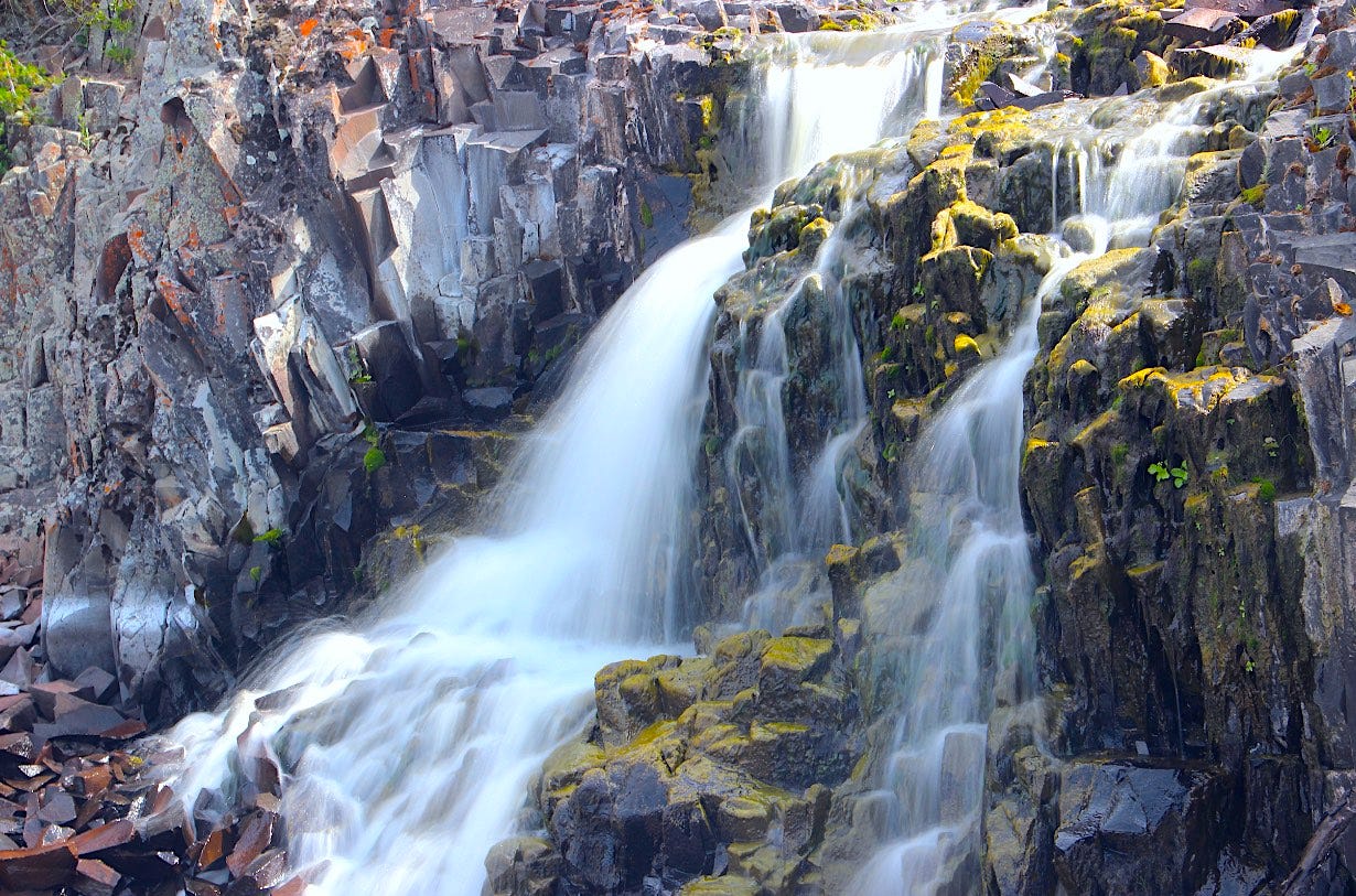
Ephemeral spring waterfall across a rugged exposure of Wanapum basalt in western Spokane County
Palouse Falls during spring run-off, eight miles north of where the Palouse empties into the Snake River
To continue viewing this post, please become a paid subscriber to The Daily Rhubarb at the link above…tjc